|
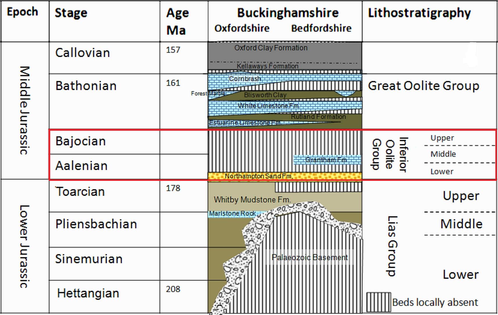
Bucks Geology GroupInferior Oolite GroupThe muddy conditions of the Lias seas were replaced towards the end of the Early Jurassic by nearer-shore deposits, as global sea levels fell and shelf areas of continents emerged from beneath the sea. Considering Buckinghamshire's position on the north flank of the island located over the London Platform, it is hardly surprising that in the shallow, nearshore warm seas, conditions resembled the Bahamas prevailed, and considerable quantities of limestone were created from the abundant life forming and living within the fringing reefs at places along this coastline.The "Inferior Oolite Group" derives its name from these thick limestones of the lower Middle Jurassic (Aalenian and Bajocian Stages) of the Cotswolds, where it is thickly developed. In North Oxfordshire, a positive topographical feature called the "Oxford Shallows" at this time restricted the amount of sedimentation. This feature is North Buckinghamshire, where this unit of rock crops out, was on the flank of this shallow area, as it deepened to the northeast, eventually allowing thicker sequences once more, including the Northamptonshire Ironstone, and Lincolnshire and Ancaster Limestones, once used extensively as freestone in building. However, the Buckinghamshire equivalents, if present, are restricted to a few metres of sand, intervening between the top of the Upper Lias and the base of the succeeding Rutland Formation mudstone. On the county boundary, at Brackley, a few centimetres of hard conglomerate is all that has been assigned to this unit. As exposures of this part of the geological succession are so infrequent, there is still much uncertainty about the exact correlation of these thin sands in Buckinghamshire with those to the northeast and certainly to the southwest in the Cotswolds. It is possible that they in fact belong to the succeeding "Great Oolite Group".
Whitby Formation (Upper Lias)The muddy limestones of the Upper Lias are the oldest rocks in Bucks - 190 million years old. Exposures are only temporarily available in trenches or road works, or in river banks. The fossils show this was a warm sea close to land - hence the high proportion of clay.
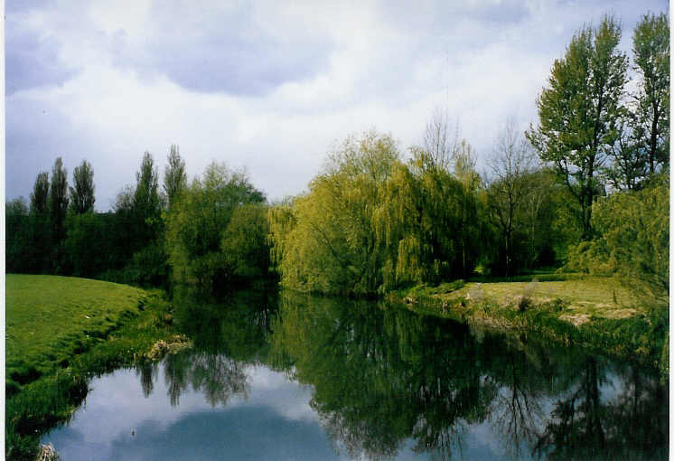
The Upper Lias can occassionally be found in the banks of the River Ouse near Haversham Mills. Although the section is degraded the layers of muds, marls and thin limestone bands can be seen if water levels are low. These are mid- to pale-grey clays and pale-grey limestones. Fossils are present in the form of broken shells (various bivalves as well as some trace fossils including burrows. Ammonites have been found in these rocks in the past). Access to the rocks is not easy, unless water levels are very low. Therefore, it is not recommended that visitors attempt to sample the rock layers due to the potential of falling in the river.
|