|
Bucks Geology GroupUpper Greensand FormationThe Upper Greensand is so-named because of its greenish grey hue, imparted to it by the mineral "Glauconite", which forms as small granules only in marine conditions, preferably in deeper water with low current energy. The Upper Greensand in Buckinghamshire shows a thinning from the Oxfordshire border to Ivinghoe, at which point it is unrecorded, although a further occurrence is present at the Bedfordshire boundary, near Eaton Bray.It resembles a soft, fine sandy or silty chalk, approximately 5m thick, in which fossils of bivalves and ammonites are not uncommon. Although not exposed in any permanent sense in the county, it may be encountered in any temporary exposure a mile or so north of the Chiltern scarp, where it reaches the surface. The Upper Greensand is neither thick enough nor hard enough to produce any topographical feature to indicate its presence. It produces soils particularly suited to the cultivation of fruit trees. From the mid 19th Century, the outcrop of this Formation could be traced out by the many orchards in the villages at the foot of the Chiltern scarp, particularly cultivating the Aylesbury Prune, a type of cooking plum.Grown almost exclusively between Meadle and Kimble in Buckinghamshire, and Hockcliffe in Bedfordshire, prunes from the area were delivered to towns across Britain by rail. As well as providing a valuable fruit crop, the orchards made perfect grazing for poultry and ducks, including the famous Aylesbury Duck. It is not known when the Aylesbury Prune first became established in the area, but the orchards began to go into decline during the inter-war years of the 20th Century. Some of the best views of these once extensive ancient prune orchards can be seen from the top of the Chiltern scarp. 

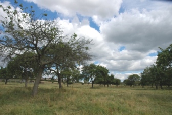
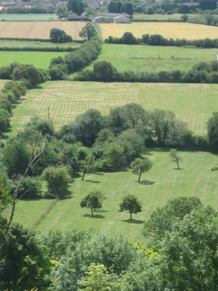
These orchards, illustrated above, are along the Buckinghamshire/Bedfordshire border. Look also for remnants in Cheddington village.
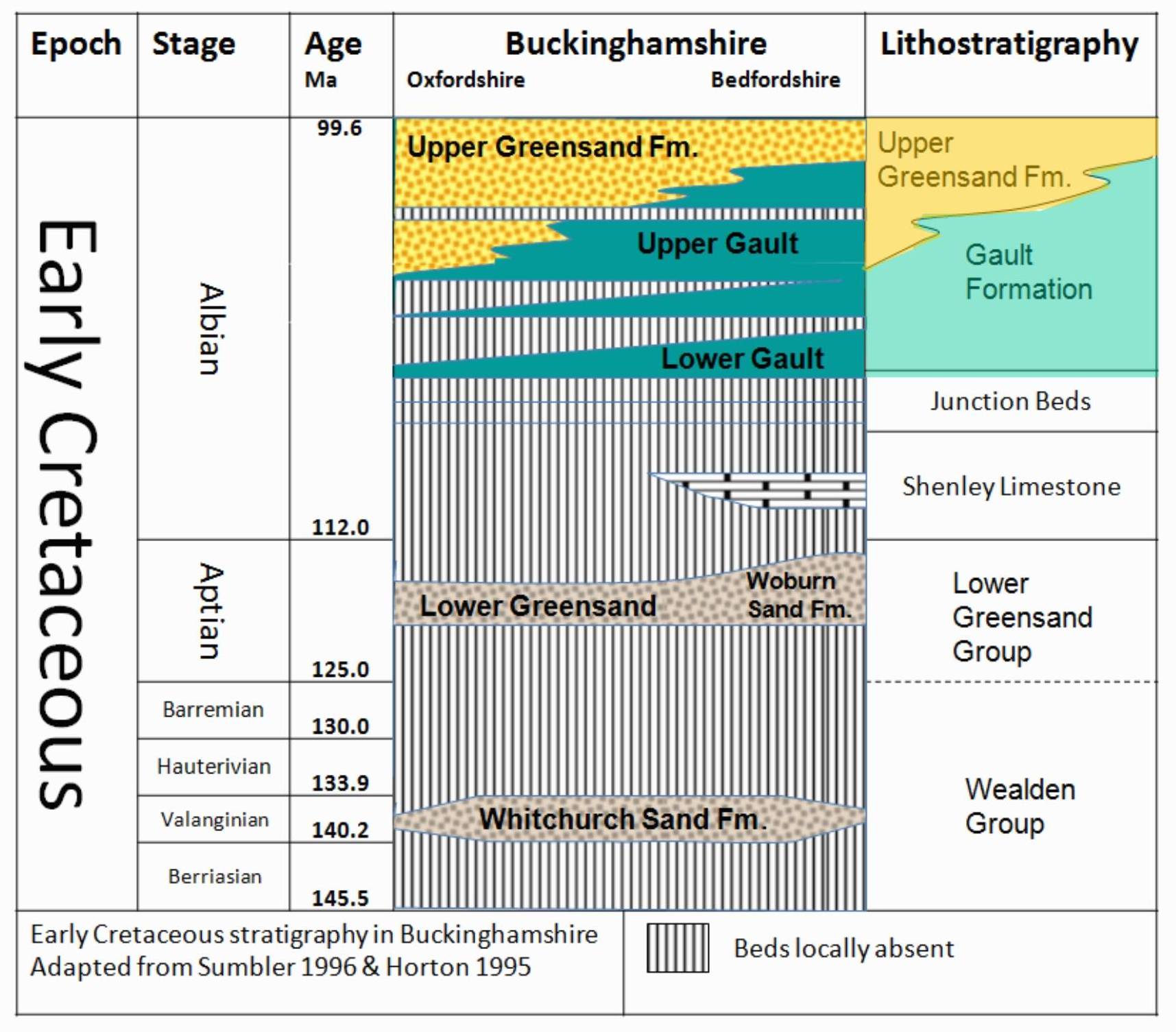
The Early Cretaceous Stratigraphy of Buckinghamshire
|


